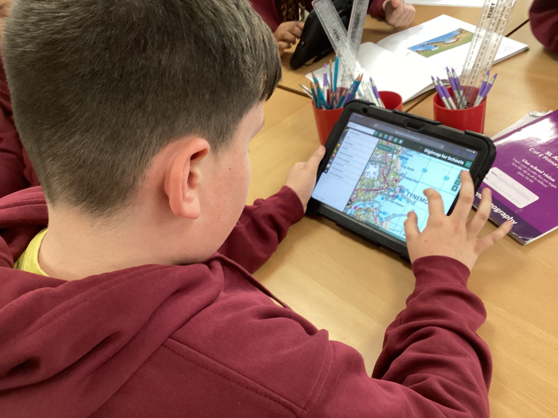
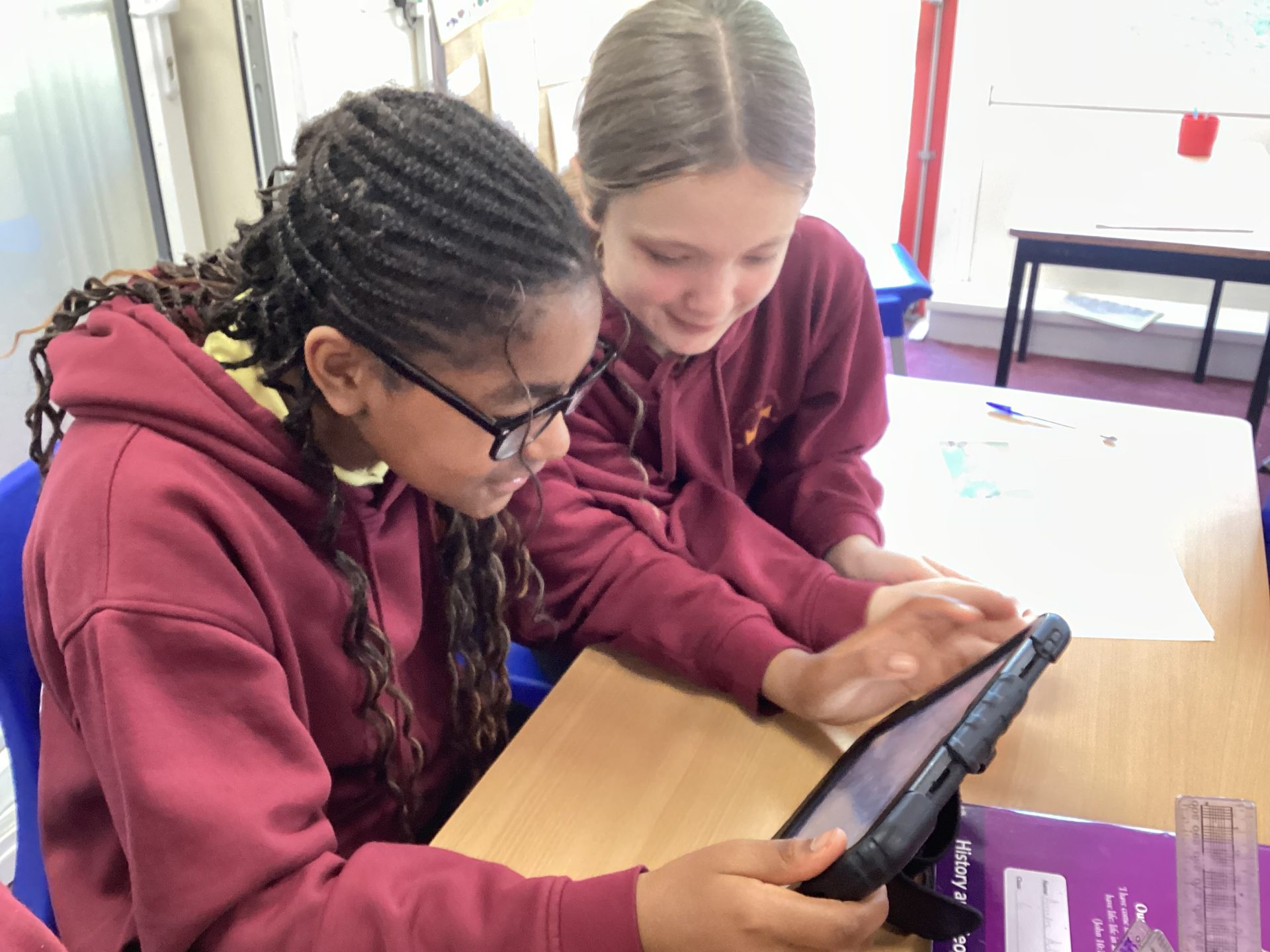
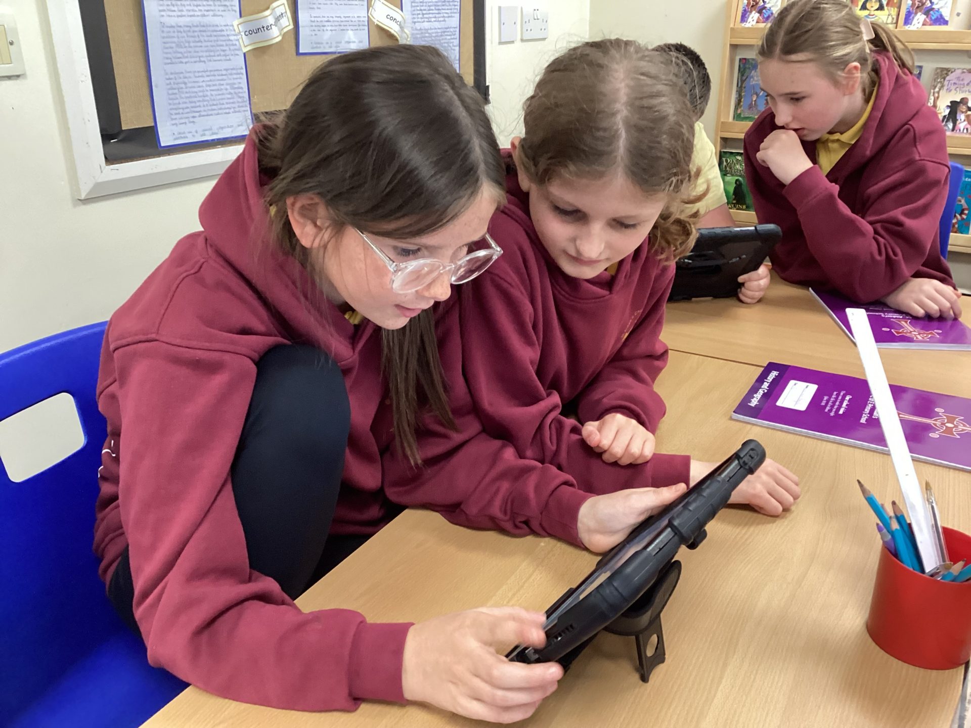
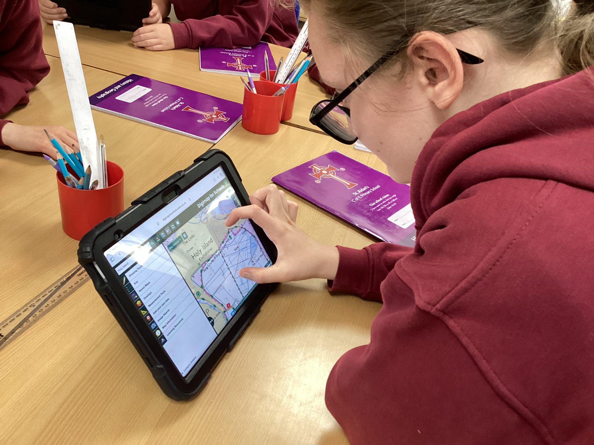
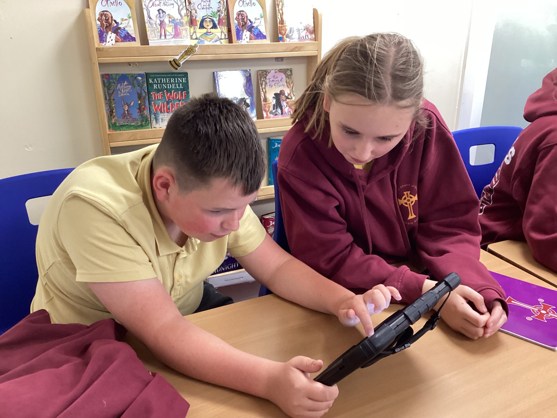
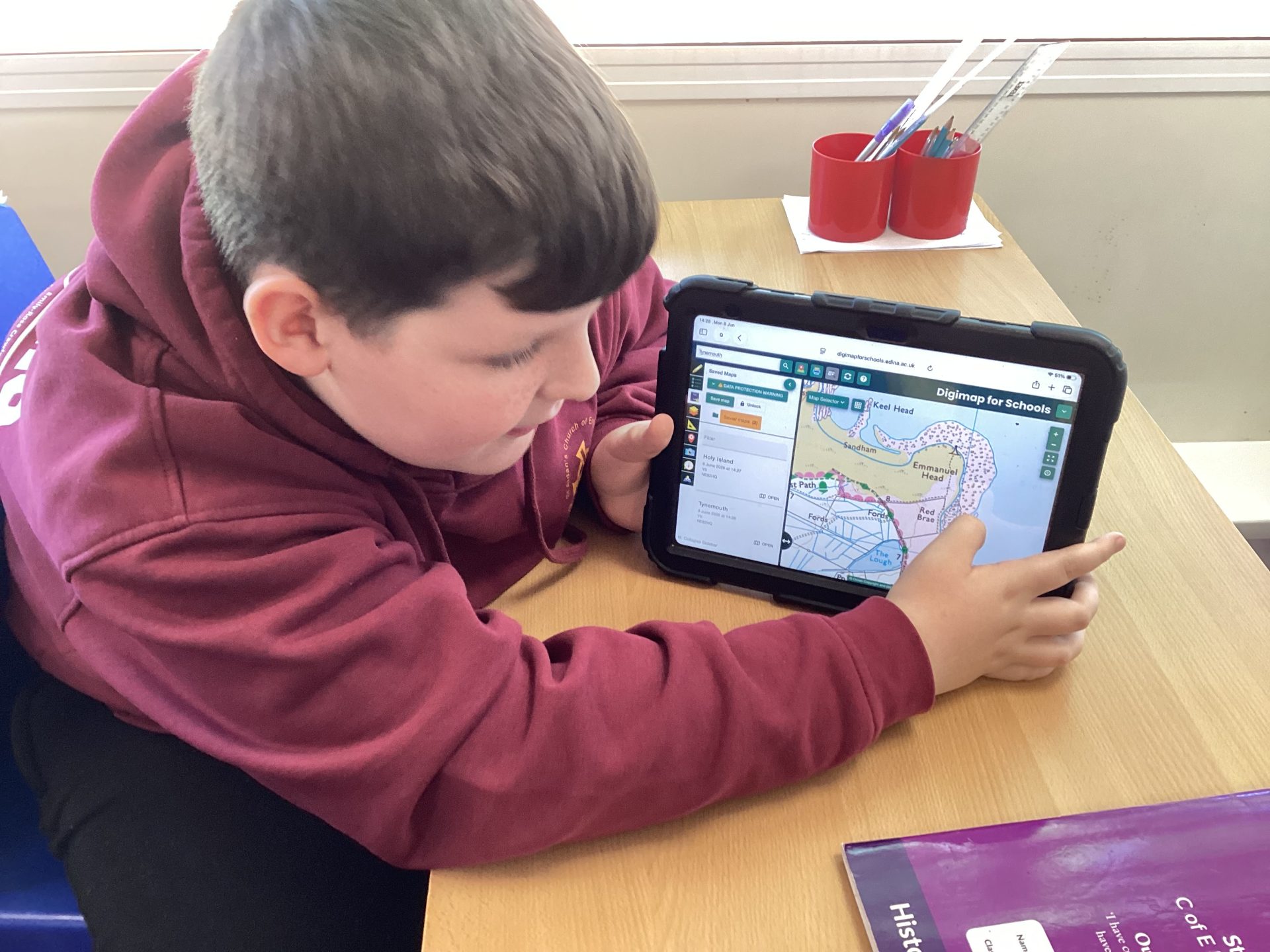
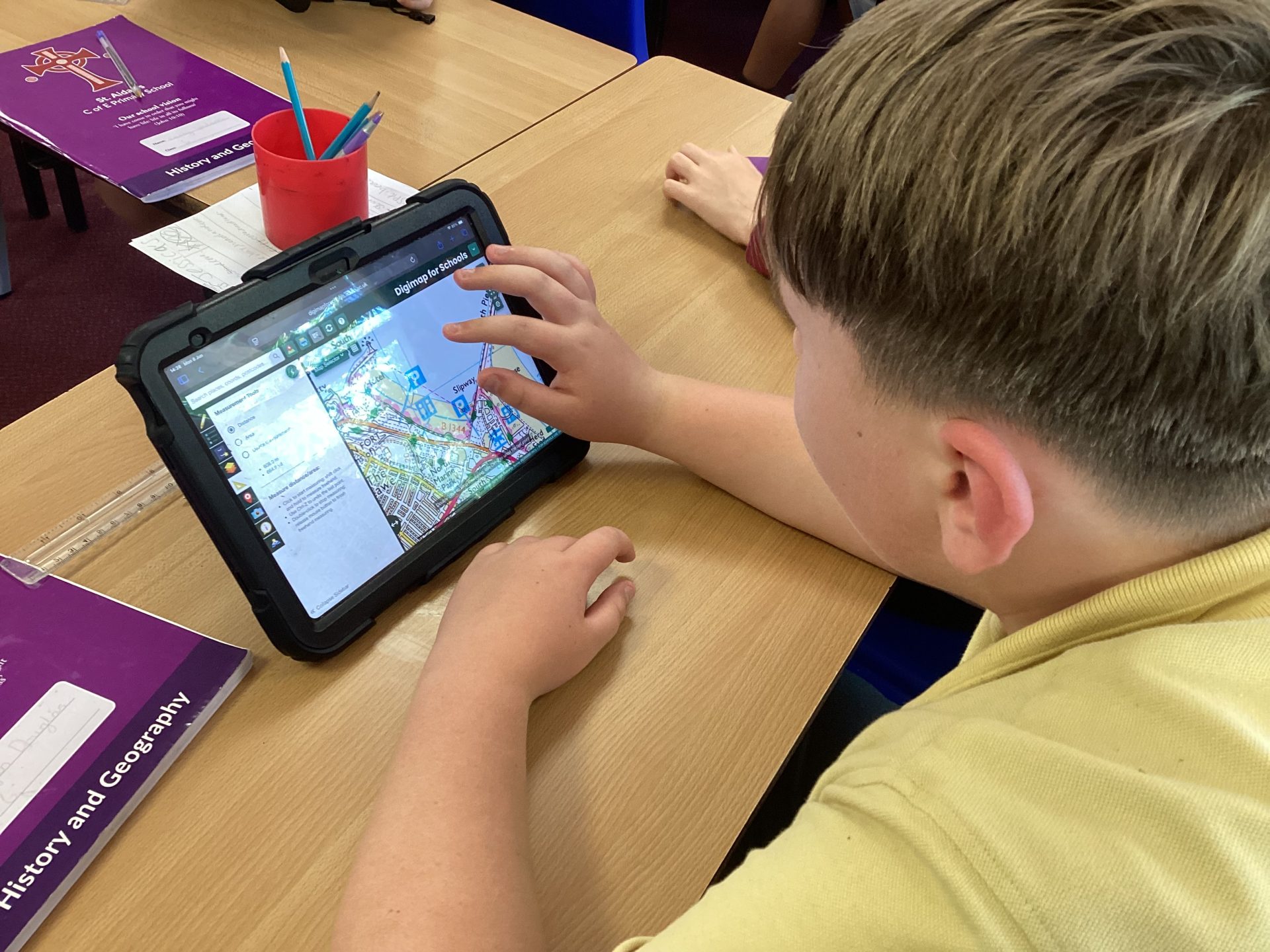
Year 6 used Digimaps and Google Maps to explore and compare coastal locations at Tynemouth and Holy Island.
They developed their map-reading skills by locating and identifying key coastal features such as beaches, cliffs, headlands, coves and bays. Using digital mapping tools, the children investigated the physical geography of each area, observed how the coastline has been shaped, and improved their understanding of how maps can be used to study and interpret landscapes.